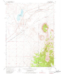
1967 Map of Tecoma
USGS Topo · Published 1982About this map
Southern Pacific railroad tracks bisect the high desert of the Tecoma Valley on this 1967 survey, tracing a path through a landscape of remote ranching outposts and mining prospects. The settlement of Tecoma and the nearby Cem cemetery anchor the valley floor, while further south, the Pilot Range rises sharply with peaks like Bald Eagle Mtn and Copper Mtn. The map reveals several historic locations noted as sites, including Tuttle (Site) and Buell (Site), suggesting the movement of early pioneers and miners through the region's canyons. Water remains a critical and named resource in this arid terrain, marked by Dake Reservoir, Thousand Springs Creek, and several family-named wells such as Stockberger Well. The geography is defined by its deep drainages, from Fat Woman Canyon to Six Shooter Canyon, and unusual formations like The Nipple and Crystal Cave.
Find a feature on this map
35 named features on this map. Tap any name to fly to it.
Don’t see what you’re looking for? This feature index may not catch every label — zoom into the map to look around manually.
Map Details
Editions of this 1967 Tecoma Map
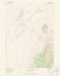
2 editions found
Other maps of this area

1954 · Brigham City
USGS Topo · 1:250,000

1955 · Wells
USGS Topo · 1:250,000

1958 · Wells
USGS Topo · 1:250,000

1958 · Brigham City
USGS Topo · 1:250,000

1961 · Wells
USGS Topo · 1:250,000

1962 · Brigham City
USGS Topo · 1:250,000

1967 · Jackson Spring
USGS Topo · 1:24,000

1967 · Lucin
USGS Topo · 1:24,000

1967 · Twelvemile Ranch
USGS Topo · 1:24,000

1967 · Patterson Pass
USGS Topo · 1:24,000