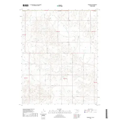
2018 Map of Tegarden NE
USGS Topo · Published 2018About this map
The Salt Fork Arkansas River carves a winding path through this northern Oklahoma landscape, defining the hydrology of Woods County. This 2018 survey reveals a terrain heavily managed for water, with several named impoundments including Isenbart Number 1 Reservoir and Flada Reservoir supporting local land use. Smaller drainages like Yellowstone Cr and Hackberry Cr feed into the primary river system, while Thurman Reservoir and 151901 Reservoir provide additional catchments in the southern sections.
Find a feature on this map
37 named features on this map. Tap any name to fly to it.
Don’t see what you’re looking for? This feature index may not catch every label — zoom into the map to look around manually.
Map Details
Editions of this 2018 Tegarden NE Map
This is the sole edition of this map. No revisions or reprints were ever made.
Other maps of this area
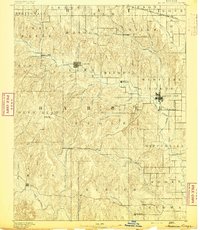
1891 · Medicine Lodge
USGS Topo · 1:125,000
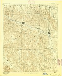
1893 · Medicine Lodge
USGS Topo · 1:125,000
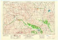
1955 · Woodward
USGS Topo · 1:250,000
1955 · Pratt
USGS Topo · 1:250,000
1958 · Woodward
USGS Topo · 1:250,000
1959 · Pratt
USGS Topo · 1:250,000
1969 · Tegarden NE
USGS Topo · 1:24,000
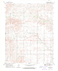
1969 · Tegarden SE
USGS Topo · 1:24,000
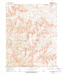
1969 · Tegarden NW
USGS Topo · 1:24,000
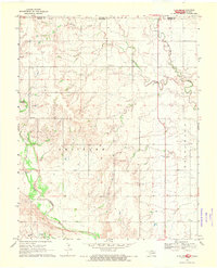
1969 · Alva NW
USGS Topo · 1:24,000