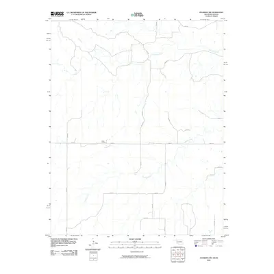
2010 Map of Tegarden NW
USGS Topo · Published 2010About this map
Ewing Cemetery sits as a lonely historical anchor in this stretch of the High Plains, positioned near the junction of E0060 Rd and N2285 Rd. The landscape is defined by the dendritic drainage patterns of Yellowstone Creek in the north and Greenleaf Creek to the south, which carve through the prairie terrain. The map reveals a strictly regulated grid of section line roads, typical of the rural Midwest, providing access to the expansive agricultural tracts and occasional ranch structures. These corridors, such as N2260 Rd and E0090 Rd, reflect a late-20th-century transportation network built upon early settlement patterns. This survey provides a precise record of the topography and land use just before the shift toward more modern digital mapping standards, preserving the exact locations of family-named landmarks and local watercourses.
Find a feature on this map
20 named features on this map. Tap any name to fly to it.
Don’t see what you’re looking for? This feature index may not catch every label — zoom into the map to look around manually.
Map Details
Editions of this 2010 Tegarden NW Map
This is the sole edition of this map. No revisions or reprints were ever made.
Other maps of this area

1891 · Medicine Lodge
USGS Topo · 1:125,000

1892 · Coldwater
USGS Topo · 1:125,000

1893 · Medicine Lodge
USGS Topo · 1:125,000

1955 · Woodward
USGS Topo · 1:250,000

1955 · Pratt
USGS Topo · 1:250,000

1958 · Woodward
USGS Topo · 1:250,000

1959 · Pratt
USGS Topo · 1:250,000

1969 · Tegarden NE
USGS Topo · 1:24,000

1969 · Tegarden SE
USGS Topo · 1:24,000

1969 · Tegarden NW
USGS Topo · 1:24,000