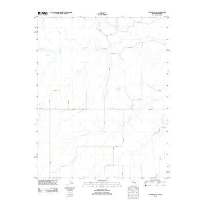
2012 Map of Tegarden NW
USGS Topo · Published 2012About this map
Yellowstone Creek and Greenleaf Creek drain this rural landscape along the Kansas-Oklahoma border, where a strictly organized grid of range roads defines the movement of modern agriculture. The presence of Ewing Cemetery along E0060 Road serves as a quiet marker of the families who settled this prairie. This 2012 survey illustrates a sparsely populated terrain dominated by drainage systems like Redhorse Creek and local identifiers such as Hackberry in the northern reaches. The network of county roads, including north-south routes like N2300 Road, connects isolated farmsteads and agricultural plots that have remained the primary economic driver of this border region for generations.
Find a feature on this map
24 named features on this map. Tap any name to fly to it.
Don’t see what you’re looking for? This feature index may not catch every label — zoom into the map to look around manually.
Map Details
Editions of this 2012 Tegarden NW Map
This is the sole edition of this map. No revisions or reprints were ever made.
Other maps of this area
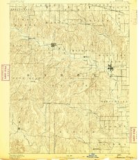
1891 · Medicine Lodge
USGS Topo · 1:125,000
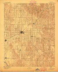
1892 · Coldwater
USGS Topo · 1:125,000
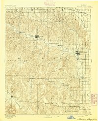
1893 · Medicine Lodge
USGS Topo · 1:125,000
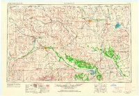
1955 · Woodward
USGS Topo · 1:250,000
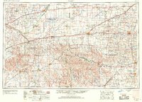
1955 · Pratt
USGS Topo · 1:250,000
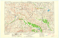
1958 · Woodward
USGS Topo · 1:250,000
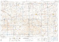
1959 · Pratt
USGS Topo · 1:250,000
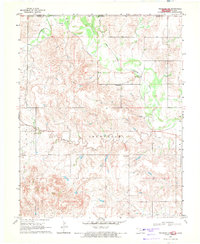
1969 · Tegarden NE
USGS Topo · 1:24,000
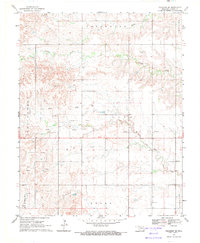
1969 · Tegarden SE
USGS Topo · 1:24,000
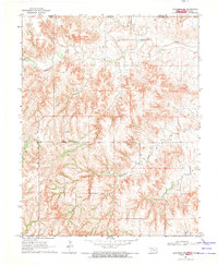
1969 · Tegarden NW
USGS Topo · 1:24,000