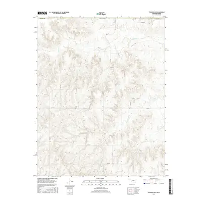
2016 Map of Tegarden NW
USGS Topo · Published 2016About this map
Ewing Cem is the primary cultural landmark in this sparsely settled region along the border of Oklahoma and Kansas. The terrain is defined by a dense network of drainage systems, including the headwaters of Yellowstone Cr in the north and the winding paths of Greenleaf Cr and Redhorse Cr further south. The map documents a landscape primarily organized by a grid of rural section roads, such as Logan Rd and Kiowa Rd, which traverse the undulating topography. This 2016 survey illustrates a modern rural environment where land use is dictated by the natural draws and ridges, with family-named or descriptive routes like Latimer Rd and Noble Rd providing the only local navigation through the cattle country and open prairie of Barber County and its southern neighbor, Woods County.
Find a feature on this map
22 named features on this map. Tap any name to fly to it.
Don’t see what you’re looking for? This feature index may not catch every label — zoom into the map to look around manually.
Map Details
Editions of this 2016 Tegarden NW Map
This is the sole edition of this map. No revisions or reprints were ever made.
Other maps of this area
1891 · Medicine Lodge
USGS Topo · 1:125,000
1892 · Coldwater
USGS Topo · 1:125,000
1893 · Medicine Lodge
USGS Topo · 1:125,000
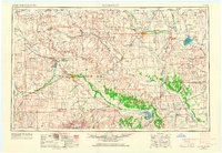
1955 · Woodward
USGS Topo · 1:250,000
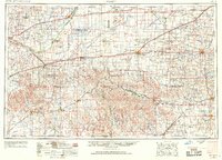
1955 · Pratt
USGS Topo · 1:250,000
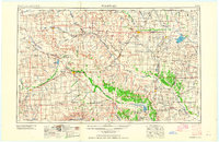
1958 · Woodward
USGS Topo · 1:250,000
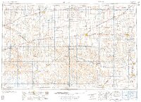
1959 · Pratt
USGS Topo · 1:250,000
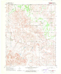
1969 · Tegarden NE
USGS Topo · 1:24,000
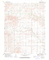
1969 · Tegarden SE
USGS Topo · 1:24,000
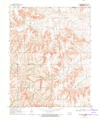
1969 · Tegarden NW
USGS Topo · 1:24,000