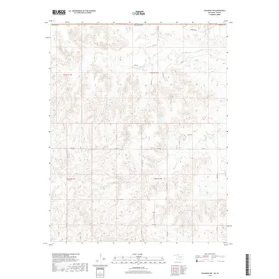
2018 Map of Tegarden NW
USGS Topo · Published 2018About this map
Yellowstone Cr and Greenleaf Cr snake through this dissected landscape along the state line, where the high plains transition into the drainages of the southern borderlands. The terrain is defined by a dense network of local routes, including Logan Rd and Major Rd, which follow the section lines and natural contours of the territory. This 2018 survey reveals a sparsely populated ranching or agricultural district where evidence of early settlement remains in the form of the Ewing Cem, located centrally along the southern reach of Logan Rd. The mapping of small seasonal watercourses like Redhorse Cr provides a detailed look at the hydrology that has shaped the land-use patterns in this part of Woods County and its neighbor across the boundary in Oklahoma.
Find a feature on this map
28 named features on this map. Tap any name to fly to it.
Don’t see what you’re looking for? This feature index may not catch every label — zoom into the map to look around manually.
Map Details
Editions of this 2018 Tegarden NW Map
This is the sole edition of this map. No revisions or reprints were ever made.
Other maps of this area
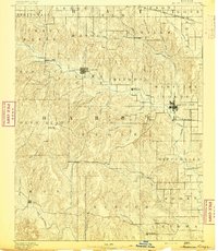
1891 · Medicine Lodge
USGS Topo · 1:125,000
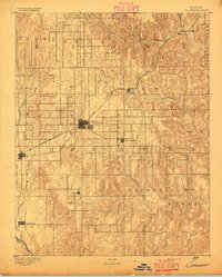
1892 · Coldwater
USGS Topo · 1:125,000
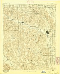
1893 · Medicine Lodge
USGS Topo · 1:125,000
1955 · Woodward
USGS Topo · 1:250,000
1955 · Pratt
USGS Topo · 1:250,000
1958 · Woodward
USGS Topo · 1:250,000
1959 · Pratt
USGS Topo · 1:250,000
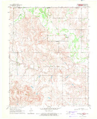
1969 · Tegarden NE
USGS Topo · 1:24,000
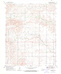
1969 · Tegarden SE
USGS Topo · 1:24,000
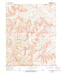
1969 · Tegarden NW
USGS Topo · 1:24,000