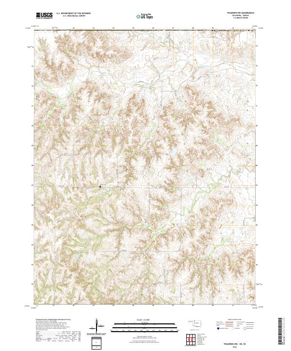
2022 Map of Tegarden NW
USGS Topo · Published 2022About this map
Yellowstone Cr and Greenleaf Cr drain the dissected plains of northern Woods County in this contemporary digital survey. The landscape is defined by a rigorous section-line road network and rural property boundaries established under the Public Land Survey System, including Logan Rd and Kiowa Rd. A single burial site, Ewing Cem, serves as a primary genealogical landmark near the intersection of Logan Rd and Co Rd 280. This area of northwest Oklahoma remains largely pastoral, with the dendritic drainage patterns of Redhorse Cr carving through the terrain. The map captures the persistence of early 20th-century land divisions into the modern era, providing a precise record of the remote rural infrastructure and local named roads like Hackberry Rd and Latimer Rd that connect disparate ranching or farming outposts.
Find a feature on this map
28 named features on this map. Tap any name to fly to it.
Don’t see what you’re looking for? This feature index may not catch every label — zoom into the map to look around manually.
Map Details
Editions of this 2022 Tegarden NW Map
This is the sole edition of this map. No revisions or reprints were ever made.
Other maps of this area

1891 · Medicine Lodge
USGS Topo · 1:125,000

1892 · Coldwater
USGS Topo · 1:125,000

1893 · Medicine Lodge
USGS Topo · 1:125,000

1955 · Woodward
USGS Topo · 1:250,000

1955 · Pratt
USGS Topo · 1:250,000

1958 · Woodward
USGS Topo · 1:250,000

1959 · Pratt
USGS Topo · 1:250,000

1969 · Tegarden NE
USGS Topo · 1:24,000

1969 · Tegarden SE
USGS Topo · 1:24,000

1969 · Tegarden NW
USGS Topo · 1:24,000