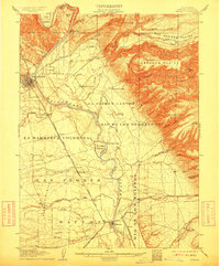
1905 Map of Tehama
USGS Topo · Published 1911About this map
The Sacramento River anchors this early 20th-century landscape, flowing through a transition from the narrow Iron Canyon and Chinese Rapids in the north toward the open agricultural plains of the south. Red Bluff stands as a primary railroad and trade hub, served by the Southern Pacific R. R. which branches south into the Portland Line and Woodland Line near Tehama. The terrain is marked by significant Spanish-named land grants and features, including La Barranca Colorada and El Primer Canyon or Rio de los Berrendos. Away from the river, the landscape rises into the Mud Springs Plains and Abraham Plains, where early hydraulic infrastructure like the Mud Springs Flume and a Millrace reflect the era's reliance on water management for industry and ranching.
Find a feature on this map
70 named features on this map. Tap any name to fly to it.
Don’t see what you’re looking for? This feature index may not catch every label — zoom into the map to look around manually.
Map Details
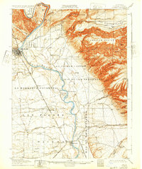
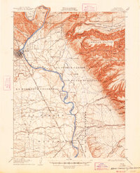
Editions of this 1905 Tehama Map
4 editions found
Other maps of this area

1886 · Lassen Peak
USGS Topo · 1:250,000

1890 · Red Bluff
USGS Topo · 1:250,000

1891 · Chico
USGS Topo · 1:125,000

1892 · Lassen Peak
USGS Topo · 1:250,000

1893 · Chico
USGS Topo · 1:125,000

1894 · Lassen Peak
USGS Topo · 1:250,000

1894 · Red Bluff
USGS Topo · 1:250,000

1895 · Chico
USGS Topo · 1:125,000

1904 · Vina
USGS Topo · 1:62,500

1905 · Tehama
USGS Topo · 1:62,500