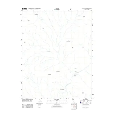
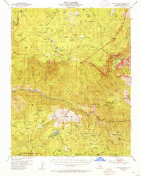
2012 Map of Tehipite Dome
USGS Topo · Published 2012About this map
Tehipite Dome stands as the central landmark of this high-elevation Sierra Nevada landscape, overlooking the dramatic Tehipite Valley where the Middle Fork Kings River carves a path through the granite. The topography is defined by significant vertical relief, characterized by descriptive names like the Gorge of Despair and Tombstone Ridge. This 2012 survey illustrates a wilderness area shaped by glacial action and water, featuring numerous high meadows such as Large Meadow and Deer Meadow that break up the complex of ridges and peaks.
Find a feature on this map
32 named features on this map. Tap any name to fly to it.
Don’t see what you’re looking for? This feature index may not catch every label — zoom into the map to look around manually.
Map Details
Editions of this 2012 Tehipite Dome Map
This is the sole edition of this map. No revisions or reprints were ever made.
Other maps of this area
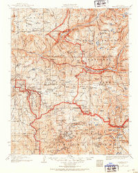
1903 · Tehipite
USGS Topo · 1:125,000
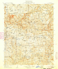
1905 · Tehipite
USGS Topo · 1:125,000
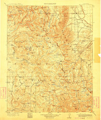
1912 · Mt. Goddard
USGS Topo · 1:125,000

1947 · Mariposa
USGS Topo · 1:250,000
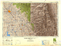
1948 · Fresno
USGS Topo · 1:250,000

1948 · Mariposa
USGS Topo · 1:250,000
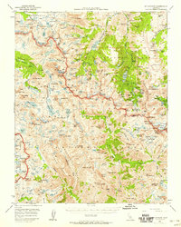
1948 · Mt. Goddard
USGS Topo · 1:62,500
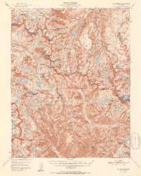
1951 · Mt. Goddard
USGS Topo · 1:62,500
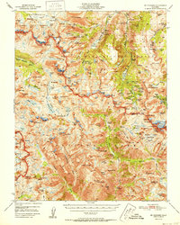
1952 · Mt. Goddard
USGS Topo · 1:62,500
1952 · Tehipite Dome
USGS Topo · 1:62,500