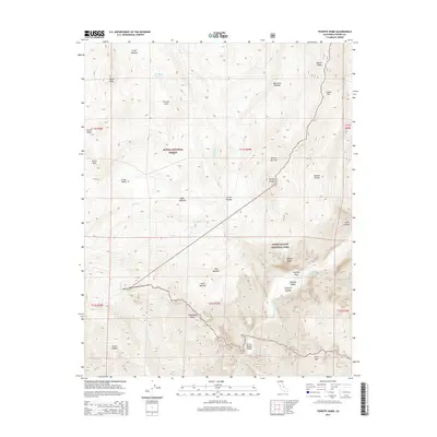
2015 Map of Tehipite Dome
USGS Topo · Published 2015About this map
Tehipite Dome stands as a massive landmark overlooking the Middle Fork Kings River within the Kings Canyon National Park boundary. This high-altitude landscape is characterized by its dramatic vertical relief, from the Gorge of Despair to the high crests of the Sierra Nevada. The map details a transition from the wilderness of the Sierra National Forest into the national park, highlighting isolated meadows such as Gnat Meadow and Hay Meadow. The region's hydrological complexity is evident in the many descending creeks like Silver Cr and Scepter Cr, which feed the river below. For those studying the terrain, features like the Volcanic Cone and Obelisk mark distinct geological formations, while Randle Corral provides a rare sign of human utility in this formidable mountain environment.
Find a feature on this map
42 named features on this map. Tap any name to fly to it.
Don’t see what you’re looking for? This feature index may not catch every label — zoom into the map to look around manually.
Map Details
Editions of this 2015 Tehipite Dome Map
This is the sole edition of this map. No revisions or reprints were ever made.
Other maps of this area
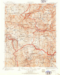
1903 · Tehipite
USGS Topo · 1:125,000
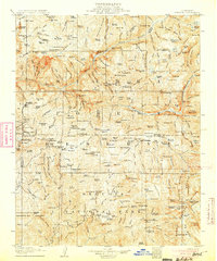
1905 · Tehipite
USGS Topo · 1:125,000
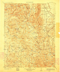
1912 · Mt. Goddard
USGS Topo · 1:125,000

1947 · Mariposa
USGS Topo · 1:250,000
1948 · Fresno
USGS Topo · 1:250,000

1948 · Mariposa
USGS Topo · 1:250,000
1948 · Mt. Goddard
USGS Topo · 1:62,500
1951 · Mt. Goddard
USGS Topo · 1:62,500
1952 · Mt. Goddard
USGS Topo · 1:62,500
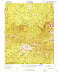
1952 · Tehipite Dome
USGS Topo · 1:62,500