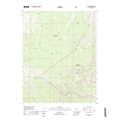
2018 Map of Tehipite Dome
USGS Topo · Published 2018About this map
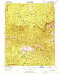
Tehipite Dome stands as a massive granite centerpiece in this remote wilderness area where the Sierra National Forest meets Kings Canyon National Park. The landscape is defined by the deep carving of the Middle Fork Kings River, which flows through the Tehipite Valley and past the dramatic Gorge of Despair. High-altitude meadows such as Gnat Meadow, Deer Meadow, and Mountain Meadow provide breaks in the vertical terrain of Tombstone Ridge and Kettle Ridge.
Find a feature on this map
49 named features on this map. Tap any name to fly to it.
Don’t see what you’re looking for? This feature index may not catch every label — zoom into the map to look around manually.
Map Details
Editions of this 2018 Tehipite Dome Map
This is the sole edition of this map. No revisions or reprints were ever made.
Other maps of this area
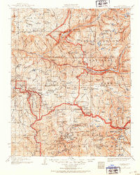
1903 · Tehipite
USGS Topo · 1:125,000
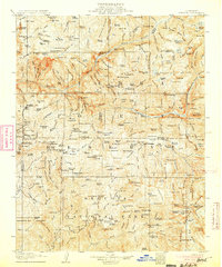
1905 · Tehipite
USGS Topo · 1:125,000
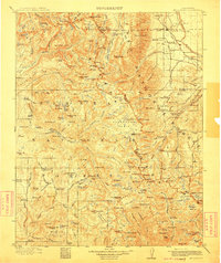
1912 · Mt. Goddard
USGS Topo · 1:125,000

1947 · Mariposa
USGS Topo · 1:250,000
1948 · Fresno
USGS Topo · 1:250,000

1948 · Mariposa
USGS Topo · 1:250,000
1948 · Mt. Goddard
USGS Topo · 1:62,500
1951 · Mt. Goddard
USGS Topo · 1:62,500
1952 · Mt. Goddard
USGS Topo · 1:62,500
1952 · Tehipite Dome
USGS Topo · 1:62,500