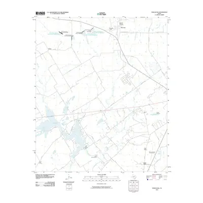
2010 Map of Tehuacana
USGS Topo · Published 2010About this map
The Tehuacana Hills provide a distinctive elevation in this part of Limestone County, overlooking the historic site of Old Trinity University - Texas Hall in the settlement of Tehuacana. This landscape is defined by its water management and resource extraction, notably featuring the Mexia Oil Field and the extensive waters of Lake Mexia created by the Bistone Dam. The map reveals a complex network of rural routes such as FM 3437 and Ranch RD 2681 that connect small communities like Forest Glade and Datura.
Find a feature on this map
71 named features on this map. Tap any name to fly to it.
Don’t see what you’re looking for? This feature index may not catch every label — zoom into the map to look around manually.
Map Details
Editions of this 2010 Tehuacana Map
This is the sole edition of this map. No revisions or reprints were ever made.
Other maps of this area

1920 · Mexia
USGS Topo · 1:62,500

1954 · Waco
USGS Topo · 1:250,000

1955 · Waco
USGS Topo · 1:250,000

1957 · Groesbeck
USGS Topo · 1:62,500

1960 · Echols
USGS Topo · 1:24,000

1960 · Groesbeck
USGS Topo · 1:24,000

1960 · Tehuacana
USGS Topo · 1:24,000

1963 · Wortham
USGS Topo · 1:24,000

1963 · Mexia
USGS Topo · 1:24,000

1965 · Coolidge
USGS Topo · 1:24,000