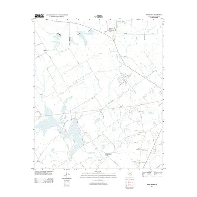
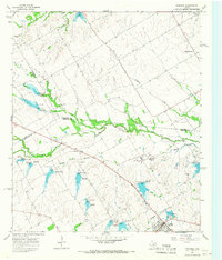
2013 Map of Tehuacana
USGS Topo · Published 2013About this map
Tehuacana Hills rise above the surrounding Limestone County landscape, overlooking the settlement of Tehuacana. This area is characterized by a mix of agricultural utility and significant historical sites, most notably the Joseph E Johnston Confederate Reunion Grounds located near the Navasota River. The map highlights the local dependence on water resources, featuring Tehuacana Spring, Comanche Spring, and several Soil Conservation Service reservoirs such as Soil Conservation Service Site 21 Reservoir.
Find a feature on this map
91 named features on this map. Tap any name to fly to it.
Don’t see what you’re looking for? This feature index may not catch every label — zoom into the map to look around manually.
Map Details
Editions of this 2013 Tehuacana Map
This is the sole edition of this map. No revisions or reprints were ever made.
Other maps of this area
1920 · Mexia
USGS Topo · 1:62,500

1954 · Waco
USGS Topo · 1:250,000

1955 · Waco
USGS Topo · 1:250,000
1957 · Groesbeck
USGS Topo · 1:62,500
1960 · Echols
USGS Topo · 1:24,000
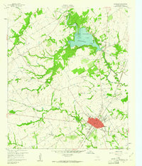
1960 · Groesbeck
USGS Topo · 1:24,000
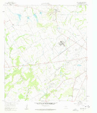
1960 · Tehuacana
USGS Topo · 1:24,000
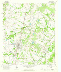
1963 · Wortham
USGS Topo · 1:24,000
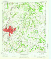
1963 · Mexia
USGS Topo · 1:24,000
1965 · Coolidge
USGS Topo · 1:24,000