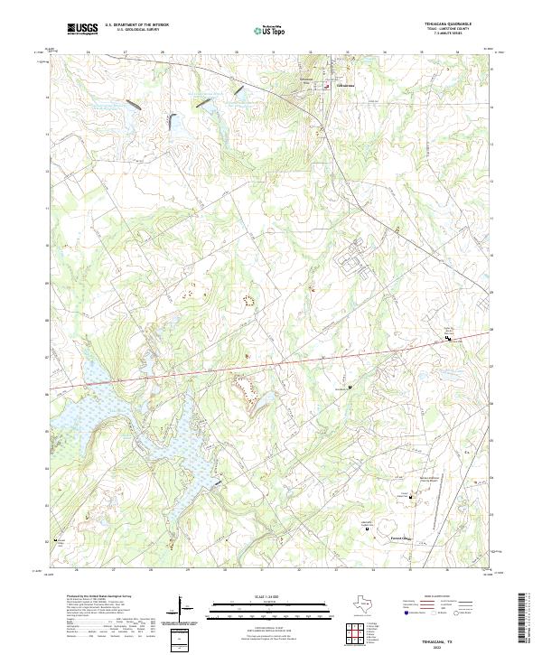
2022 Map of Tehuacana
USGS Topo · Published 2022About this map
The Tehuacana Hills rise above the surrounding Texas plains, marking a landscape defined by significant water resources and historical burial sites. The community of Tehuacana sits near the namesake Tehuacana Spring, with its street grid including College Ave and Westminster St reflecting its local importance. To the south, the settlement of Forest Glade lies near the Mexia-Limestone County Airport, surrounded by numerous family and community landmarks such as Forest Glade Cem and the Abernathy-Cogdell Cem.
Find a feature on this map
93 named features on this map. Tap any name to fly to it.
Don’t see what you’re looking for? This feature index may not catch every label — zoom into the map to look around manually.
Map Details
Editions of this 2022 Tehuacana Map
This is the sole edition of this map. No revisions or reprints were ever made.
Other maps of this area

1920 · Mexia
USGS Topo · 1:62,500

1954 · Waco
USGS Topo · 1:250,000

1955 · Waco
USGS Topo · 1:250,000

1957 · Groesbeck
USGS Topo · 1:62,500

1960 · Echols
USGS Topo · 1:24,000

1960 · Groesbeck
USGS Topo · 1:24,000

1960 · Tehuacana
USGS Topo · 1:24,000

1963 · Wortham
USGS Topo · 1:24,000

1963 · Mexia
USGS Topo · 1:24,000

1965 · Coolidge
USGS Topo · 1:24,000