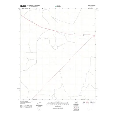
2010 Map of Tejon
USGS Topo · Published 2010About this map
Tejon sits at a crossroads in the high plains of New Mexico, where the primary east-west corridor of 60 285 meets the local transportation network. This 2010 survey reveals a landscape of sparsely populated territory, defined largely by the intersection of regional thoroughfares and the modest settlement of Indiole to the southwest. The presence of County Rd C071 underscores the importance of secondary routes in connecting remote ranching or agricultural outposts in this portion of Guadalupe County. In an era where many small plains communities saw significant consolidation, the distinct labeling of these two points provides a specific record of regional geography at the start of the 21st century.
Find a feature on this map
5 named features on this map. Tap any name to fly to it.
Don’t see what you’re looking for? This feature index may not catch every label — zoom into the map to look around manually.
Map Details
Editions of this 2010 Tejon Map
This is the sole edition of this map. No revisions or reprints were ever made.
Other maps of this area

1954 · Fort Sumner
USGS Topo · 1:250,000

1958 · Fort Sumner
USGS Topo · 1:250,000

1978 · Mesa Leon
USGS Topo · 1:24,000

1978 · Santa Barbara Lake
USGS Topo · 1:24,000

1978 · Vaughn
USGS Topo · 1:24,000

1978 · Tejon
USGS Topo · 1:24,000

1978 · Encino
USGS Topo · 1:24,000

1978 · Dunlap Ranch
USGS Topo · 1:24,000

1980 · Corona
USGS Topo · 1:100,000

1981 · Gacho Hill NW
USGS Topo · 1:24,000