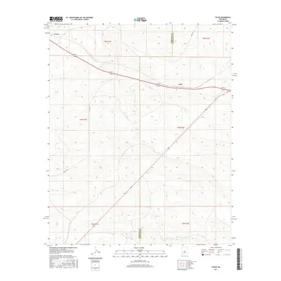
2017 Map of Tejon
USGS Topo · Published 2017About this map
Tejon and Carnero sit within a high desert landscape on this survey along the border of Torrance and Guadalupe Counties. The region is defined by the stark geometry of the Public Land Survey System, which divides the terrain into sections such as t5n r15e, t4n r15e, and t3n r15e. Movement through this high-elevation New Mexico plains environment is facilitated by primary transit routes including Highway 60 285 and Highway 54, which intersect the expansive township and range lines. Local transport is marked by rural thoroughfares like Horace Rd and Co Rd Cd28, which connect these small settlements to the broader county network. This map provides a clear record of the spatial distribution of homesteads and road systems in a corner of the state where topography and township boundaries dictate the pattern of human presence.
Find a feature on this map
13 named features on this map. Tap any name to fly to it.
Don’t see what you’re looking for? This feature index may not catch every label — zoom into the map to look around manually.
Map Details
Editions of this 2017 Tejon Map
This is the sole edition of this map. No revisions or reprints were ever made.
Other maps of this area

1954 · Fort Sumner
USGS Topo · 1:250,000

1958 · Fort Sumner
USGS Topo · 1:250,000

1978 · Mesa Leon
USGS Topo · 1:24,000

1978 · Santa Barbara Lake
USGS Topo · 1:24,000

1978 · Vaughn
USGS Topo · 1:24,000

1978 · Tejon
USGS Topo · 1:24,000

1978 · Encino
USGS Topo · 1:24,000

1978 · Dunlap Ranch
USGS Topo · 1:24,000

1980 · Corona
USGS Topo · 1:100,000

1981 · Gacho Hill NW
USGS Topo · 1:24,000