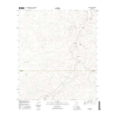
2016 Map of Telegraph
USGS Topo · Published 2016About this map
Telegraph occupies a narrow shelf above the S Llano River as it carves through the central Texas Hill Country. The landscape is defined by deep drainage systems like Telegraph Canyon and Christmas Hollow, while the river valley provides life-sustaining water through features such as Seven Hundred Springs and Tanner Springs. The settlement pattern follows the water and the winding paths of roads like Little Paint Rch Rd and Jacoby Pkwy.
Find a feature on this map
26 named features on this map. Tap any name to fly to it.
Don’t see what you’re looking for? This feature index may not catch every label — zoom into the map to look around manually.
Map Details
Editions of this 2016 Telegraph Map
This is the sole edition of this map. No revisions or reprints were ever made.
Other maps of this area

1893 · Rock Springs
USGS Topo · 1:125,000

1926 · Segovia 2-c
USGS Topo · 1:48,000

1932 · Junction
USGS Topo · 1:62,500

1954 · Llano
USGS Topo · 1:250,000

1954 · Sonora
USGS Topo · 1:250,000

1955 · Llano
USGS Topo · 1:250,000

1956 · Llano
USGS Topo · 1:250,000

1958 · Sonora
USGS Topo · 1:250,000

1962 · Hill Ranch
USGS Topo · 1:24,000

1962 · Roosevelt
USGS Topo · 1:24,000