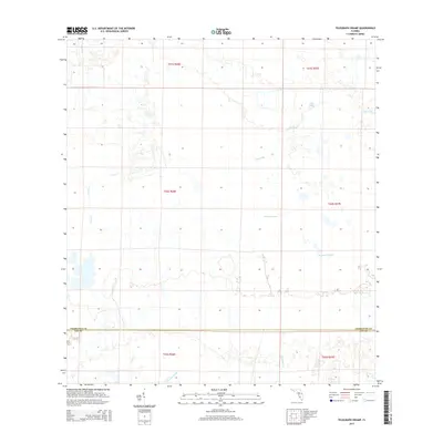
2015 Map of Telegraph Swamp
USGS Topo · Published 2015About this map
Telegraph Swamp and Bullhead Strand dominate this section of the Florida interior, where the landscape is defined by vast hydrological networks rather than dense urban settlement. The map traces the boundary between Charlotte and Lee Counties, illustrating a region of southwestern Florida characterized by cypress strands and sluggish drainage systems. Named watercourses like Trout Cr and Telegraph Cr suggest the natural corridors used for navigation and logging in earlier eras. The presence of Clay Gully and Stricklin Gully provides fine-grained detail for land managers and environmental historians studying the preservation of the Babcock Ranch area. This survey offers a clear view of the sparse rural infrastructure and section-line road patterns established before more recent conservation and development efforts reshaped the territory.
Find a feature on this map
9 named features on this map. Tap any name to fly to it.
Don’t see what you’re looking for? This feature index may not catch every label — zoom into the map to look around manually.
Map Details
Editions of this 2015 Telegraph Swamp Map
This is the sole edition of this map. No revisions or reprints were ever made.
Other maps of this area
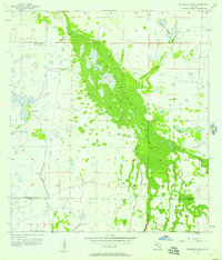
1956 · Telegraph Swamp
USGS Topo · 1:24,000
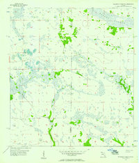
1956 · Telegraph Swamp NE
USGS Topo · 1:24,000
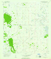
1956 · Telegraph Swamp NW
USGS Topo · 1:24,000
1956 · Bermont
USGS Topo · 1:24,000

1956 · West Palm Beach
USGS Topo · 1:250,000

1957 · West Palm Beach
USGS Topo · 1:250,000
1957 · Tuckers Corner
USGS Topo · 1:24,000
1957 · Telegraph Swamp SE
USGS Topo · 1:24,000

1958 · West Palm Beach
USGS Topo · 1:250,000
1958 · Olga
USGS Topo · 1:24,000