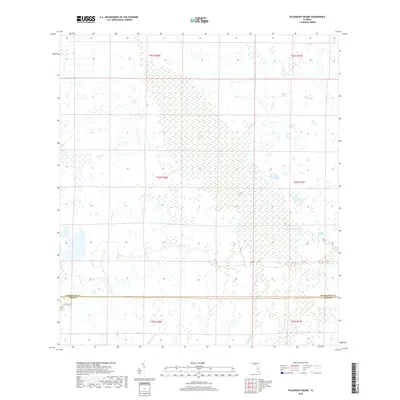
2018 Map of Telegraph Swamp
USGS Topo · Published 2018About this map
Telegraph Swamp dominates this landscape along the border of Charlotte and Lee counties, representing a preserved expanse of Florida's freshwater wetlands and strand systems. The area is defined by complex hydrography, including the winding Telegraph Creek and Bullhead Strand, which channel water across the flat terrain. This 2018 survey reveals a territory largely devoid of major development, where water bodies like Currys Lake and seasonal drainage features such as Clay Gully and Stricklin Gully dictate the natural boundaries. The sparse human footprint suggests a land preserved for environmental or ranching purposes, maintaining the hydrologic connections between small tributaries like Trout Cr and the larger swamp systems that define the regional geography.
Find a feature on this map
15 named features on this map. Tap any name to fly to it.
Don’t see what you’re looking for? This feature index may not catch every label — zoom into the map to look around manually.
Map Details
Editions of this 2018 Telegraph Swamp Map
This is the sole edition of this map. No revisions or reprints were ever made.
Other maps of this area
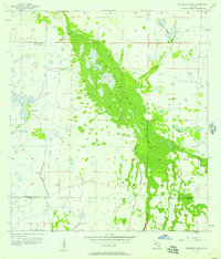
1956 · Telegraph Swamp
USGS Topo · 1:24,000
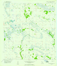
1956 · Telegraph Swamp NE
USGS Topo · 1:24,000
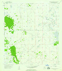
1956 · Telegraph Swamp NW
USGS Topo · 1:24,000
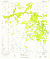
1956 · Bermont
USGS Topo · 1:24,000

1956 · West Palm Beach
USGS Topo · 1:250,000

1957 · West Palm Beach
USGS Topo · 1:250,000
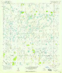
1957 · Tuckers Corner
USGS Topo · 1:24,000
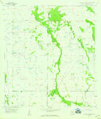
1957 · Telegraph Swamp SE
USGS Topo · 1:24,000

1958 · West Palm Beach
USGS Topo · 1:250,000
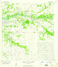
1958 · Olga
USGS Topo · 1:24,000