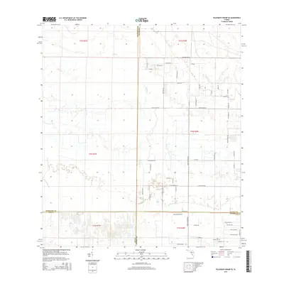
2015 Map of Telegraph Swamp SE
USGS Topo · Published 2015About this map
The intersection of four Florida counties—Charlotte, Glades, Lee, and Hendry—defines this low-lying landscape of wetlands and citrus groves. Central to the topography is the sprawling drainage network of Bullhead Strand and Jacks Br, which feed into Jacks Lake. The interior is crisscrossed by a grid of named rural roads like Loblolly Bay Rd and Rattlesnake Rd, reflecting the area's agricultural and residential development in the early 21st century. Near the southern boundary, the Kinser Groves settlement and the South Point Airport anchor the local economy. Genealogists and local historians will find the Fort Denaud Cem in the southeastern corner, a significant landmark near the Hendry County line. The map captures the specialized land use of the region, from the natural flow of Clay Gully to the structured blocks of citrus production and small private airstrips.
Find a feature on this map
61 named features on this map. Tap any name to fly to it.
Don’t see what you’re looking for? This feature index may not catch every label — zoom into the map to look around manually.
Map Details
Editions of this 2015 Telegraph Swamp SE Map
This is the sole edition of this map. No revisions or reprints were ever made.
Other maps of this area
1956 · Telegraph Swamp
USGS Topo · 1:24,000
1956 · Telegraph Swamp NE
USGS Topo · 1:24,000
1956 · Telegraph Swamp NW
USGS Topo · 1:24,000

1956 · West Palm Beach
USGS Topo · 1:250,000

1957 · West Palm Beach
USGS Topo · 1:250,000
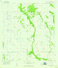
1957 · Telegraph Swamp SE
USGS Topo · 1:24,000

1958 · West Palm Beach
USGS Topo · 1:250,000
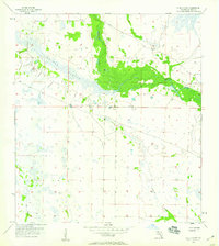
1958 · La Belle NW
USGS Topo · 1:24,000
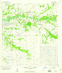
1958 · Olga
USGS Topo · 1:24,000
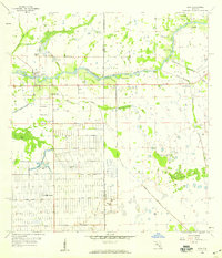
1958 · Alva
USGS Topo · 1:24,000