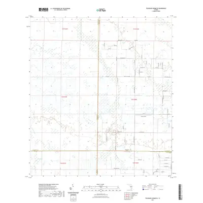
2021 Map of Telegraph Swamp SE
USGS Topo · Published 2021About this map
Telegraph Swamp and Bullhead Strand dominate the western landscape of this contemporary Florida survey, where the low-lying terrain is carved by Clay Gully and Cypress Creek. The map documents a sparsely populated rural region where the borders of Lee, Hendry, Charlotte, and Glades counties converge. Private aviation is a visible part of the local infrastructure, evidenced by both the Flying L Airport and South Point Airport. To the southeast, the historic Fort Denaud Cem sits near the Glades and Hendry county line, offering a touchstone for genealogical research in the area. The interior is laced with a network of local roads and tracks such as Muse Rd, Red Rd, and Nine Mile Rd, indicating recent residential development and agricultural access amidst the wetlands and Jacks Branch drainage.
Find a feature on this map
64 named features on this map. Tap any name to fly to it.
Don’t see what you’re looking for? This feature index may not catch every label — zoom into the map to look around manually.
Map Details
Editions of this 2021 Telegraph Swamp SE Map
This is the sole edition of this map. No revisions or reprints were ever made.
Other maps of this area

1956 · Telegraph Swamp
USGS Topo · 1:24,000

1956 · Telegraph Swamp NE
USGS Topo · 1:24,000

1956 · Telegraph Swamp NW
USGS Topo · 1:24,000

1956 · West Palm Beach
USGS Topo · 1:250,000

1957 · West Palm Beach
USGS Topo · 1:250,000

1957 · Telegraph Swamp SE
USGS Topo · 1:24,000

1958 · West Palm Beach
USGS Topo · 1:250,000

1958 · La Belle NW
USGS Topo · 1:24,000

1958 · Olga
USGS Topo · 1:24,000

1958 · Alva
USGS Topo · 1:24,000