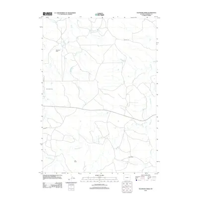
2012 Map of Telephone Draw
USGS Topo · Published 2012About this map
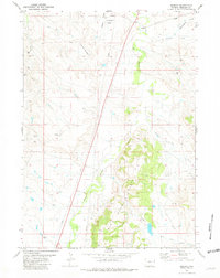
Buck Creek Oil Field anchors the western portion of this high-plains landscape in Niobrara County, representing the long-standing energy industry of the region. The map reveals a network of watercourses including Old Woman Creek and Young Woman Creek, which carve through the arid terrain. Natural landmarks like the prominent Castle Rock and the elevated Tim Butte provide clear navigational points across the open range. Strategic infrastructure is evidenced by the presence of Leismer Number 1 Reservoir, a critical water management feature for the area. Remote access is defined by established routes such as Buck Creek Rd and Meridian Rd, which connect the scattered industrial and natural features of Telephone Draw.
Find a feature on this map
11 named features on this map. Tap any name to fly to it.
Don’t see what you’re looking for? This feature index may not catch every label — zoom into the map to look around manually.
Map Details
Editions of this 2012 Telephone Draw Map
This is the sole edition of this map. No revisions or reprints were ever made.
Other maps of this area
1954 · Torrington
USGS Topo · 1:250,000

1955 · Newcastle
USGS Topo · 1:250,000
1958 · Torrington
USGS Topo · 1:250,000

1958 · Newcastle
USGS Topo · 1:250,000
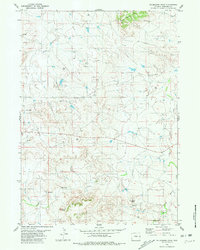
1981 · Telephone Draw
USGS Topo · 1:24,000
1981 · Rabbit Mountains
USGS Topo · 1:24,000
1981 · Coyote Gap
USGS Topo · 1:24,000
1981 · Hat Rock
USGS Topo · 1:24,000
1981 · Hat Creek
USGS Topo · 1:24,000
1981 · Redbird
USGS Topo · 1:24,000