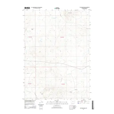
2015 Map of Telephone Draw
USGS Topo · Published 2015About this map
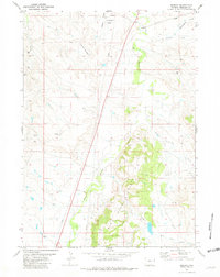
Telephone Draw characterizes the high plains landscape of Niobrara County, where drainage patterns and named landmarks reveal a remote ranching territory. The terrain is anchored by prominent elevations such as Tim Butte in the southwest and the rugged Castle Rock near Park Draw. Water management in this arid environment is evidenced by the Leismer Number 1 Reservoir, which supplements the natural flow of Buck Cr and its eastern fork. To the north, the Buck Creek Hills rise above the surrounding flats, providing a distinct geographic boundary. The map traces the winding paths of several creeks including Young Woman Cr and Old Woman Cr, which are accessible via rural routes like Buck Creek Rd and Meridian Rd. These few named features and the township-and-range grid indicate a vast, open landscape primarily defined by its hydrology and natural landforms rather than dense settlement.
Find a feature on this map
16 named features on this map. Tap any name to fly to it.
Don’t see what you’re looking for? This feature index may not catch every label — zoom into the map to look around manually.
Map Details
Editions of this 2015 Telephone Draw Map
This is the sole edition of this map. No revisions or reprints were ever made.
Other maps of this area
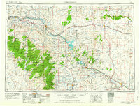
1954 · Torrington
USGS Topo · 1:250,000

1955 · Newcastle
USGS Topo · 1:250,000
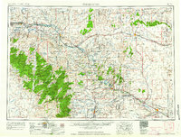
1958 · Torrington
USGS Topo · 1:250,000

1958 · Newcastle
USGS Topo · 1:250,000
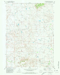
1981 · Telephone Draw
USGS Topo · 1:24,000
1981 · Rabbit Mountains
USGS Topo · 1:24,000
1981 · Coyote Gap
USGS Topo · 1:24,000
1981 · Hat Rock
USGS Topo · 1:24,000
1981 · Hat Creek
USGS Topo · 1:24,000
1981 · Redbird
USGS Topo · 1:24,000