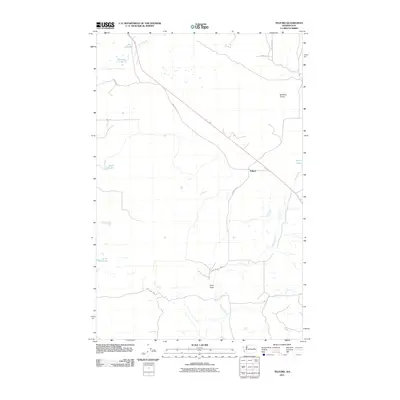
2011 Map of Telford
USGS Topo · Published 2011About this map
Telford serves as the primary reference point in this corner of Lincoln County, situated along a primary transportation corridor that cuts diagonally across the landscape. The geography is defined by a series of small, scattered water bodies such as Ice Lake, Dunning Lake, and Reed Lake, which punctuate the open terrain. To the east, the broad expanse of Bachelor Prairie indicates the flat, agricultural character of the region, while Tracy Rock stands out as a distinct geological landmark to the south near the meandering path of Lake Creek. The network of local roads, including Telford Rd N and Cole Ranch Rd N, reflects a land division pattern typical of the Inland Empire's ranching and farming history, where small settlements like Telford provided essential links for the surrounding rural population.
Find a feature on this map
18 named features on this map. Tap any name to fly to it.
Don’t see what you’re looking for? This feature index may not catch every label — zoom into the map to look around manually.
Map Details
Editions of this 2011 Telford Map
This is the sole edition of this map. No revisions or reprints were ever made.
Other maps of this area

1948 · Wilbur
USGS Topo · 1:62,500

1948 · Lincoln
USGS Topo · 1:62,500

1950 · Lincoln
USGS Topo · 1:62,500

1950 · Wilbur
USGS Topo · 1:62,500

1953 · Ritzville
USGS Topo · 1:250,000

1959 · Ritzville
USGS Topo · 1:250,000

1965 · Ritzville
USGS Topo · 1:250,000

1969 · Rocklyn SW
USGS Topo · 1:24,000

1969 · Telford
USGS Topo · 1:24,000

1969 · Rocklyn
USGS Topo · 1:24,000