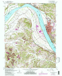
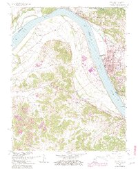
1961 Map of Tell City
USGS Topo · Published 1981About this map
Tell City and Cannelton anchor this riverfront landscape at the intersection of Indiana and Kentucky industry during the early 1960s. The Ohio River dominates the geography, defining the border and supporting a complex infrastructure of transport and manufacturing, evidenced by the Louisville and Nashville railroad and the Southern line. In Indiana, the map shows Troy situated near the mouth of Crooked Creek, while across the water in Kentucky, Hawesville sits at the foot of the hills near Lead Creek.
Find a feature on this map
52 named features on this map. Tap any name to fly to it.
Don’t see what you’re looking for? This feature index may not catch every label — zoom into the map to look around manually.
Map Details
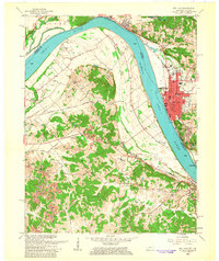
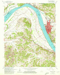
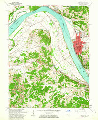
Editions of this 1961 Tell City Map
5 editions found
Other maps of this area

1900 · St Meinrad
USGS Topo · 1:62,500

1903 · St. Meinrad
USGS Topo · 1:62,500

1903 · Tell City
USGS Topo · 1:62,500

1934 · Cannelton
USGS Topo · 1:62,500

1949 · Cannelton
USGS Topo · 1:24,000

1953 · Cannelton
USGS Topo · 1:24,000

1953 · Lewisport
USGS Topo · 1:24,000

1953 · Cloverport
USGS Topo · 1:24,000

1953 · Tell City
USGS Topo · 1:24,000
1953 · Maceo
USGS Topo · 1:24,000