
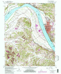
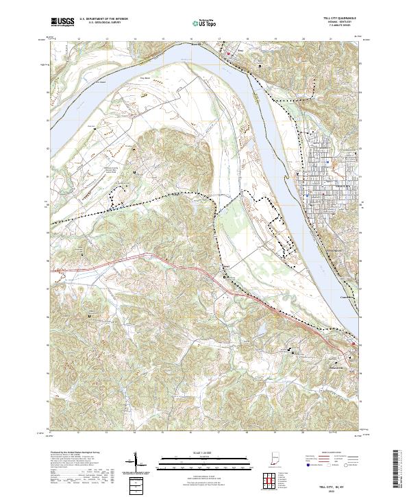
1991 Map of Tell City
USGS Topo · Published 1991About this map
The Ohio River winds through this 1991 revision, marking the border between the riverfront communities of Tell City, Indiana, and Hawesville, Kentucky. This regional overview illustrates a diverse landscape where the industrial and transport corridor of the CSX Transportation railroad meets the extensive woodlands of the Hoosier National Forest. To the southeast, the geography shifts toward the recreation and water management of Rough River Lake and its associated Rough River Dam State Park.
Find a feature on this map
306 named features on this map. Tap any name to fly to it.
Don’t see what you’re looking for? This feature index may not catch every label — zoom into the map to look around manually.
Map Details
Editions of this 1991 Tell City Map
This is the sole edition of this map. No revisions or reprints were ever made.
Historical Maps of Tell City Through Time
10 maps found
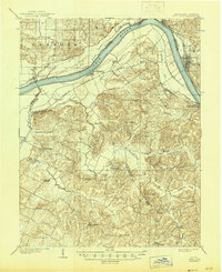
1903 Tell City
Perry County, IN
1953 Tell City
Perry County, IN
1961 Tell City
Perry County, IN

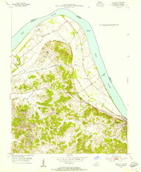
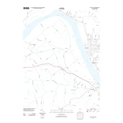
1986 Tell City
Perry County, IN
1991 Tell City
Perry County, IN
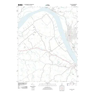
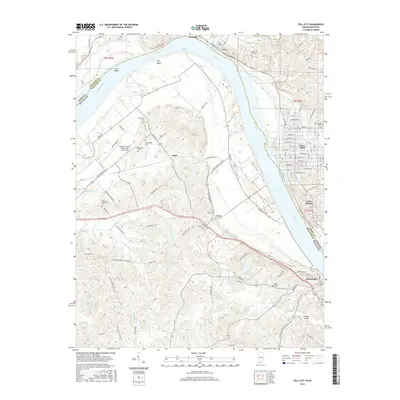
2010 Tell City
Perry County, IN
2013 Tell City
Perry County, IN
2016 Tell City
Perry County, IN
2019 Tell City
Perry County, IN
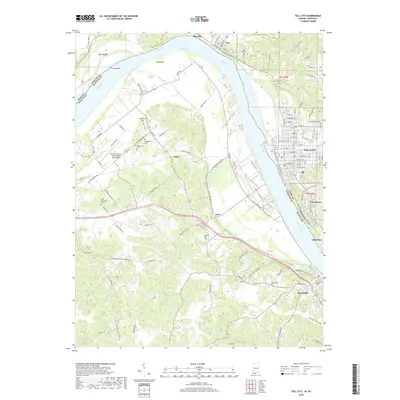
2022 Tell City
Perry County, IN