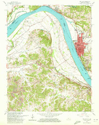
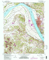
1961 Map of Tell City
USGS Topo · Published 1963About this map
The Ohio River defines the border between Indiana and Kentucky in this early 1960s survey, where industrial activity and river navigation meet. Tell City stands as the primary urban center on the Indiana bank, featuring a concentrated grid with landmarks like City Hall, the Powerplant, and County Memorial Hospital. To the south, Cannelton sits opposite Hawesville, Kentucky, connected by the shared history of the river trade. The interior of the map reveals a shift toward resource extraction and rural life, including a Strip Mine near Petri and numerous family cemeteries like Thrasher Cem and Greathouse Cem. The Louisville and Nashville railroad tracks parallel the river's winding path, passing near Corn Island and the mouth of Crooked Creek, illustrating the transportation networks that sustained these riverside communities.
Find a feature on this map
64 named features on this map. Tap any name to fly to it.
Don’t see what you’re looking for? This feature index may not catch every label — zoom into the map to look around manually.
Map Details
Editions of this 1961 Tell City Map
5 editions found
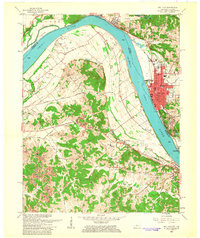
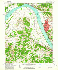
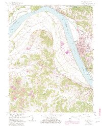
Other maps of this area

1900 · St Meinrad
USGS Topo · 1:62,500

1903 · St. Meinrad
USGS Topo · 1:62,500

1903 · Tell City
USGS Topo · 1:62,500

1934 · Cannelton
USGS Topo · 1:62,500

1949 · Cannelton
USGS Topo · 1:24,000

1953 · Cannelton
USGS Topo · 1:24,000

1953 · Lewisport
USGS Topo · 1:24,000

1953 · Cloverport
USGS Topo · 1:24,000

1953 · Tell City
USGS Topo · 1:24,000
1953 · Maceo
USGS Topo · 1:24,000