
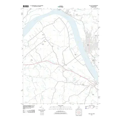
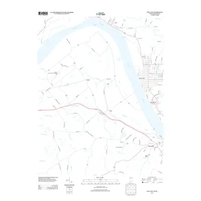
1986 Map of Tell City
USGS Topo · Published 1986About this map
The Ohio River forms the central spine of this mid-1980s landscape, winding past the industrial riverfronts of Tell City and Cannelton in Indiana and Hawesville in Kentucky. The map captures a region defined by its timber and mineral resources, showing the Hoosier National Forest blanketing the northern bluffs while extensive Strip Mines mark the southern interior. The southern half of the sheet is dominated by the sprawling waters of Rough River Lake, which is bordered by the Rough River Dam State Park.
Find a feature on this map
259 named features on this map. Tap any name to fly to it.
Don’t see what you’re looking for? This feature index may not catch every label — zoom into the map to look around manually.
Map Details
Editions of this 1986 Tell City Map
This is the sole edition of this map. No revisions or reprints were ever made.
Historical Maps of Tell City Through Time
10 maps found
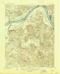
1903 Tell City
Perry County, IN
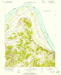
1953 Tell City
Perry County, IN
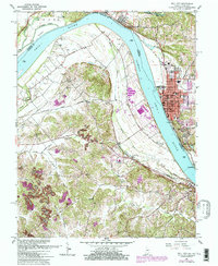
1961 Tell City
Perry County, IN
1986 Tell City
Perry County, IN

1991 Tell City
Perry County, IN
2010 Tell City
Perry County, IN
2013 Tell City
Perry County, IN
2016 Tell City
Perry County, IN
2019 Tell City
Perry County, IN
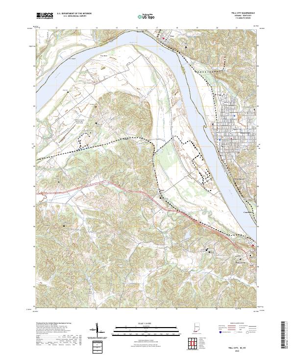
2022 Tell City
Perry County, IN