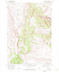
1969 Map of Teller Butte
USGS Topo · Published 1972About this map
Heisler Station (Site) stands as a reminder of early stage or freighting routes through this Jefferson County landscape, situated near the northern banks of Hay Creek. The area is defined by a series of deep drainages, including Old Maids Canyon, Coleman Canyon, and Red Shed Canyon, which carve through the high desert plateau. These canyons converge toward the major waterway of Hay Creek, a vital resource for the ranching and agricultural operations that left behind landmarks such as the Hay Creek Cemetery and the remote Landing Strip on Teller Flat.
Find a feature on this map
36 named features on this map. Tap any name to fly to it.
Don’t see what you’re looking for? This feature index may not catch every label — zoom into the map to look around manually.
Map Details
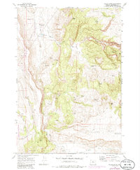
Editions of this 1969 Teller Butte Map
2 editions found
Other maps of this area

1928 · Madras
USGS Topo · 1:125,000

1931 · Madras
USGS Topo · 1:125,000

1955 · Bend
USGS Topo · 1:250,000

1957 · Bend
USGS Topo · 1:250,000

1958 · Bend
USGS Topo · 1:250,000

1962 · Gateway
USGS Topo · 1:24,000
1963 · Madras East
USGS Topo · 1:24,000
1963 · Buck Butte
USGS Topo · 1:24,000

1966 · Willowdale
USGS Topo · 1:62,500

1968 · Ashwood
USGS Topo · 1:24,000