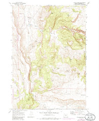
1969 Map of Teller Butte
USGS Topo · Published 1985About this map
Heisler Station (Site) stands as a waypoint in the high desert landscape of Jefferson County, where the terrain is defined by deep incisions like Devils Canyon and Maids Canyon. This 1969 survey captures the area’s ranching and natural resource history, anchored by the Hay Creek Cemetery and the extensive Crooked River National Grassland. The map reveals a reliance on scattered water sources such as Lyle Reservoir, Windy Brown Spring, and Whisky Spring, which were vital for livestock and early inhabitants of this arid region. Geologic interest is prominent here, particularly at the Priday Agate Beds, indicating the area's significance for mineral collecting and mining. To the south, the Baldwin Hills and Teller Flat provide a broader plateau setting, occasionally punctuated by landmarks like Indian Head Rock and Eagle Point.
Find a feature on this map
36 named features on this map. Tap any name to fly to it.
Don’t see what you’re looking for? This feature index may not catch every label — zoom into the map to look around manually.
Map Details
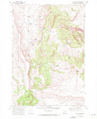
Editions of this 1969 Teller Butte Map
2 editions found
Other maps of this area

1928 · Madras
USGS Topo · 1:125,000

1931 · Madras
USGS Topo · 1:125,000

1955 · Bend
USGS Topo · 1:250,000

1957 · Bend
USGS Topo · 1:250,000

1958 · Bend
USGS Topo · 1:250,000

1962 · Gateway
USGS Topo · 1:24,000
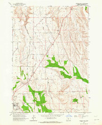
1963 · Madras East
USGS Topo · 1:24,000
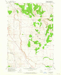
1963 · Buck Butte
USGS Topo · 1:24,000

1966 · Willowdale
USGS Topo · 1:62,500

1968 · Ashwood
USGS Topo · 1:24,000