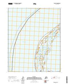
2020 Map of Teller C-7 NE
USGS Topo · Published 2020About this map
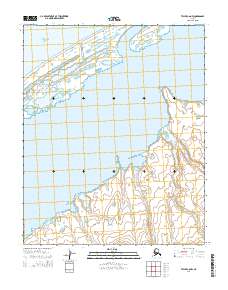
The Bering Strait and Chukchi Sea converge in this coastal survey, where the terrestrial landscape is defined by the expansive wetlands of Lopp Lagoon. This area on the western edge of the Seward Peninsula represents a critical maritime crossroads. The presence of Wales Airport near the southern boundary provides a vital transportation link for this remote coastal region, while the Prince of Wales Shoal extends into the waters to the north. The map documents the intricate network of ponds and saturated terrain that characterizes the shoreline, illustrating the complex relationship between the subarctic sea and the low-lying coastal plain.
Find a feature on this map
7 named features on this map. Tap any name to fly to it.
Don’t see what you’re looking for? This feature index may not catch every label — zoom into the map to look around manually.
Map Details
Editions of this 2020 Teller C-7 NE Map
This is the sole edition of this map. No revisions or reprints were ever made.
Other maps of this area

1950 · Teller
USGS Topo · 1:250,000

1950 · Teller C-6
USGS Topo · 1:63,360
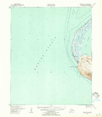
1950 · Teller C-7
USGS Topo · 1:63,360
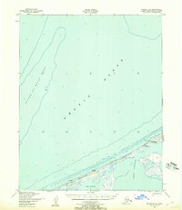
1950 · Teller D-6
USGS Topo · 1:63,360

1951 · Teller
USGS Topo · 1:250,000

1957 · Teller
USGS Topo · 1:250,000

1958 · Teller
USGS Topo · 1:250,000
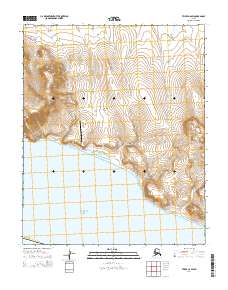
2014 · Teller C-6 SW
USGS Topo · 1:25,000
2014 · Teller C-6 NW
USGS Topo · 1:25,000
2014 · Teller D-6 SW
USGS Topo · 1:25,000