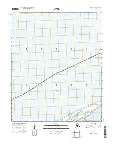
2014 Map of Teller D-6 SW
USGS Topo · Published 2014About this map
The Chukchi Sea dominates the landscape of this coastal Arctic region, where the vast saltwater expanse meets the shoreline in the Nome Census Area. The southern portion of the map reveals the complex transition between open water and land at Lopp Lagoon, a significant coastal feature that breaks the linear coastline with its intricate network of sandbars and shallow inlets. This 2014 survey documents the environmental boundary of the Alaska coast just before it reaches the westernmost edge of the Seward Peninsula. Beyond the natural hydrography, the map is defined by the Public Land Survey System grid, including townships t4n r44w and t5n r43w, which provide the only human-imposed structure on this largely untouched maritime and tundra environment.
Find a feature on this map
7 named features on this map. Tap any name to fly to it.
Don’t see what you’re looking for? This feature index may not catch every label — zoom into the map to look around manually.
Map Details
Editions of this 2014 Teller D-6 SW Map
This is the sole edition of this map. No revisions or reprints were ever made.
Other maps of this area

1950 · Teller
USGS Topo · 1:250,000

1950 · Teller C-6
USGS Topo · 1:63,360
1950 · Teller C-7
USGS Topo · 1:63,360
1950 · Teller D-6
USGS Topo · 1:63,360

1951 · Teller
USGS Topo · 1:250,000

1957 · Teller
USGS Topo · 1:250,000

1958 · Teller
USGS Topo · 1:250,000
2014 · Teller C-6 NE
USGS Topo · 1:25,000
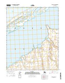
2014 · Teller C-6 NW
USGS Topo · 1:25,000
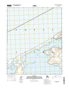
2014 · Teller D-6 SE
USGS Topo · 1:25,000