
1950 Map of Teller C-6
USGS Topo · Published 1957About this map
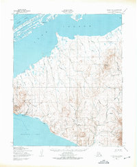
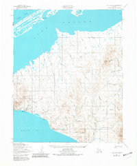
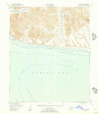
Tin City stands at the base of Cape Mountain on the westernmost reaches of the Seward Peninsula, serving as a critical point of human activity in this coastal landscape. The 1950 aerial photography reveals a specialized industrial and transportation footprint, including Mill Sites, a Mine, and the Tin City Airstrip. The terrain is dominated by the York Mountains and high peaks like Potato Mountain, with drainage provided by the Anikovik River and numerous creeks such as Goodwin Creek and Sutter Creek. Between the high ground and the Arctic Ocean lies the expansive Lopp Lagoon, separated by a narrow spit. Transportation through this region is defined by a Winter Trail and a Tractor Trail, reflecting the necessity of seasonal routes in a landscape where traditional roads are absent.
Find a feature on this map
47 named features on this map. Tap any name to fly to it.
Don’t see what you’re looking for? This feature index may not catch every label — zoom into the map to look around manually.
Map Details
Editions of this 1950 Teller C-6 Map
3 editions found
Other maps of this area

1950 · Teller
USGS Topo · 1:250,000
1950 · Teller C-7
USGS Topo · 1:63,360

1950 · Teller D-5
USGS Topo · 1:63,360
1950 · Teller D-6
USGS Topo · 1:63,360
1950 · Teller B-5
USGS Topo · 1:63,360

1950 · Teller C-5
USGS Topo · 1:63,360
1950 · Teller B-6
USGS Topo · 1:63,360

1951 · Teller
USGS Topo · 1:250,000

1957 · Teller
USGS Topo · 1:250,000

1958 · Teller
USGS Topo · 1:250,000