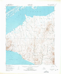
1950 Map of Teller C-6
USGS Topo · Published 1975About this map
Tin City stands as a focal point on this coastal landscape where the Bering Sea meets the Seward Peninsula. The map reveals a land defined by industrial activity and sparse Arctic settlements, notably the Mill Sites and various mines tucked near the base of Cape Mountain. The crossing of the Continental Divide separates the drainage between the southern coast and Loop Lagoon to the north, creating a complex network of waterways including the Anikovik River and Potato Creek. Transportation in this era relied on a specialized infrastructure, visible in the network of Winter Trails and Tractor Trails that connect the shoreline to the inland York Mountains. Traces of earlier habitation are noted at the Pelazuk (Site), while the native settlement of Mugisitokiwik marks the northern sandspit. This survey illustrates the relationship between mineral extraction and the logistical challenges of the Alaskan frontier.
Find a feature on this map
52 named features on this map. Tap any name to fly to it.
Don’t see what you’re looking for? This feature index may not catch every label — zoom into the map to look around manually.
Map Details
Editions of this 1950 Teller C-6 Map
3 editions found
Other maps of this area

1950 · Teller
USGS Topo · 1:250,000

1950 · Teller C-6
USGS Topo · 1:63,360
1950 · Teller C-7
USGS Topo · 1:63,360

1950 · Teller D-5
USGS Topo · 1:63,360
1950 · Teller D-6
USGS Topo · 1:63,360
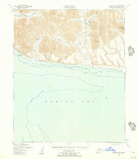
1950 · Teller B-5
USGS Topo · 1:63,360

1950 · Teller C-5
USGS Topo · 1:63,360
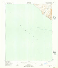
1950 · Teller B-6
USGS Topo · 1:63,360

1951 · Teller
USGS Topo · 1:250,000

1957 · Teller
USGS Topo · 1:250,000