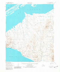
1950 Map of Teller C-6
USGS Topo · Published 1987About this map
The Bering Sea and Arctic Ocean meet at this remote western extremity of the Seward Peninsula, where the landscape is defined by the high elevations of Cape Mountain and the York Mountains. In the mid-20th century, the settlement of Tin City stands as a focal point near the coast, supported by a Landing strip and various Winter Trails that navigate the tundra. The Continental Divide winds through the interior, separating drainages like the Anikovik River and Moonlight Creek from the northern coastal plains.
Find a feature on this map
44 named features on this map. Tap any name to fly to it.
Don’t see what you’re looking for? This feature index may not catch every label — zoom into the map to look around manually.
Map Details
Editions of this 1950 Teller C-6 Map
3 editions found
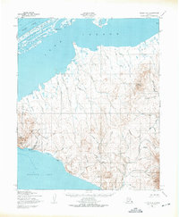
Other maps of this area

1950 · Teller
USGS Topo · 1:250,000

1950 · Teller C-6
USGS Topo · 1:63,360
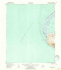
1950 · Teller C-7
USGS Topo · 1:63,360

1950 · Teller D-5
USGS Topo · 1:63,360
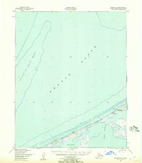
1950 · Teller D-6
USGS Topo · 1:63,360
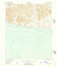
1950 · Teller B-5
USGS Topo · 1:63,360

1950 · Teller C-5
USGS Topo · 1:63,360
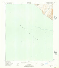
1950 · Teller B-6
USGS Topo · 1:63,360

1951 · Teller
USGS Topo · 1:250,000

1957 · Teller
USGS Topo · 1:250,000