
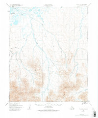
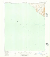
1950 Map of Teller C-5
USGS Topo · Published 1957About this map
Brooks Mountain and the jagged peaks of the York Mountains anchor the southern landscape of this Seward Peninsula region. Photographed by the Army Map Service in 1950, the map documents a complex drainage system where the Mint River and Yankee River flow northward toward the marshy coastal reaches of Lopp Lagoon. This wilderness survey reveals the remote infrastructure of the era, notably the isolated Landing Strip positioned near Whitehorse Creek.
Find a feature on this map
22 named features on this map. Tap any name to fly to it.
Don’t see what you’re looking for? This feature index may not catch every label — zoom into the map to look around manually.
Map Details
Editions of this 1950 Teller C-5 Map
2 editions found
Other maps of this area

1950 · Teller
USGS Topo · 1:250,000

1950 · Teller B-4
USGS Topo · 1:63,360

1950 · Teller C-6
USGS Topo · 1:63,360

1950 · Teller D-5
USGS Topo · 1:63,360

1950 · Teller C-4
USGS Topo · 1:63,360
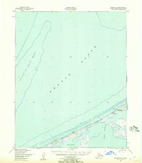
1950 · Teller D-6
USGS Topo · 1:63,360
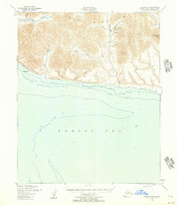
1950 · Teller B-5
USGS Topo · 1:63,360
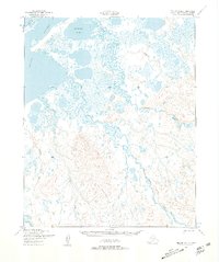
1950 · Teller D-4
USGS Topo · 1:63,360
1950 · Teller B-6
USGS Topo · 1:63,360

1951 · Teller
USGS Topo · 1:250,000