
1950 Map of Teller C-4
USGS Topo · Published 1957About this map
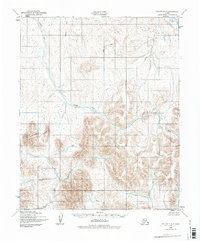
The Pinguk River system dominates this mid-century topographic study of the Seward Peninsula, captured just after the war through aerial photography by the Army Map Service. The landscape is defined by its intricate drainage patterns, where the Pinguk River and its northern tributary Upkuarok Creek carve through the terrain. To the south, the California River and Don River move toward the coast, joined by local drainages like Tozer Creek and Anderson Creek.
Find a feature on this map
11 named features on this map. Tap any name to fly to it.
Don’t see what you’re looking for? This feature index may not catch every label — zoom into the map to look around manually.
Map Details
Editions of this 1950 Teller C-4 Map
2 editions found
Other maps of this area

1950 · Teller
USGS Topo · 1:250,000

1950 · Teller B-4
USGS Topo · 1:63,360

1950 · Teller C-3
USGS Topo · 1:63,360

1950 · Teller D-3
USGS Topo · 1:63,360

1950 · Teller D-5
USGS Topo · 1:63,360

1950 · Teller B-3
USGS Topo · 1:63,360
1950 · Teller B-5
USGS Topo · 1:63,360
1950 · Teller D-4
USGS Topo · 1:63,360

1950 · Teller C-5
USGS Topo · 1:63,360

1951 · Teller
USGS Topo · 1:250,000