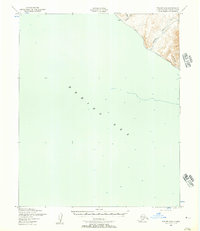
1950 Map of Teller B-6
USGS Topo · Published 1957About this map
York sits at the edge of the Bering Sea on this 1950s record of Alaska's western coast. The settlement is positioned near the mouth of the Anikovik River, a coastal landscape where the land rises sharply into the Seward Peninsula uplands. Mapping by the U.S. Geological Survey and the Army Map Service reveals a specialized transportation network adapted to the harsh environment, most notably the Winter Trail which follows the coastline and river valleys. This route provided essential winter access between coastal outposts when maritime travel was restricted. The map details several small waterways including Black Cr and the Kanauguk River, alongside the Oonutaochuk Cr further inland, showing the hydrological patterns of the tundra as it meets the sea during the early Cold War era.
Find a feature on this map
8 named features on this map. Tap any name to fly to it.
Don’t see what you’re looking for? This feature index may not catch every label — zoom into the map to look around manually.
Map Details
Editions of this 1950 Teller B-6 Map
2 editions found
Other maps of this area

1950 · Teller
USGS Topo · 1:250,000

1950 · Teller C-6
USGS Topo · 1:63,360
1950 · Teller C-7
USGS Topo · 1:63,360
1950 · Teller B-5
USGS Topo · 1:63,360

1950 · Teller C-5
USGS Topo · 1:63,360

1951 · Teller
USGS Topo · 1:250,000

1957 · Teller
USGS Topo · 1:250,000

1958 · Teller
USGS Topo · 1:250,000
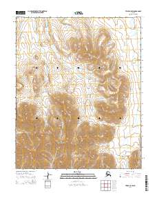
2014 · Teller C-5 SW
USGS Topo · 1:25,000
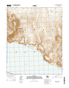
2014 · Teller C-6 SW
USGS Topo · 1:25,000