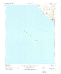
1950 Map of Teller B-6
USGS Topo · Published 1974About this map
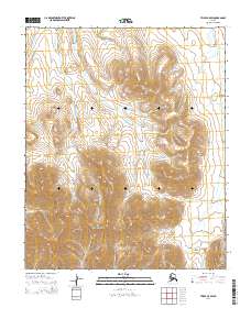
York sits at the edge of the Seward Peninsula, where the Anikovik River meets the Bering Sea. This coastal landscape, surveyed mid-century, reveals a land defined by seasonal travel and isolation. A prominent Winter Trail meanders across the hills and along the shoreline, serving as a vital overland link in a region without a formal road network. The map details the drainage systems of the Kanauguk River and Black Cr, providing a look at the hydrography of the Alaskan coast before significant modern development. The presence of the Base Line at the southern edge of the topographical detail indicates the foundational surveying work conducted by the Army Map Service and the Geological Survey to organize this remote territory.
Find a feature on this map
8 named features on this map. Tap any name to fly to it.
Don’t see what you’re looking for? This feature index may not catch every label — zoom into the map to look around manually.
Map Details
Editions of this 1950 Teller B-6 Map
2 editions found
Other maps of this area

1950 · Teller
USGS Topo · 1:250,000

1950 · Teller C-6
USGS Topo · 1:63,360
1950 · Teller C-7
USGS Topo · 1:63,360
1950 · Teller B-5
USGS Topo · 1:63,360

1950 · Teller C-5
USGS Topo · 1:63,360
1950 · Teller B-6
USGS Topo · 1:63,360

1951 · Teller
USGS Topo · 1:250,000

1957 · Teller
USGS Topo · 1:250,000

1958 · Teller
USGS Topo · 1:250,000
2014 · Teller C-5 SW
USGS Topo · 1:25,000