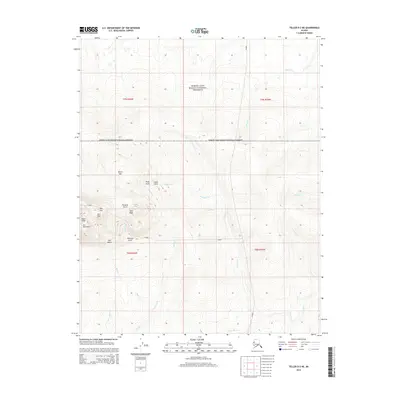
2014 Map of Teller D-3 NE
USGS Topo · Published 2014About this map
Ear Mountain dominates the western portion of this 2014 survey, serving as a prominent topographic anchor within the Bering Land Bridge National Preserve. The surrounding terrain is characterized by a high concentration of distinctive peaks and drainage features, including The Ears, Ears Peak, and West Peak. Geologic and potentially historic land use is suggested by descriptive labels such as Shaft Gully and Cabin Gully near North Hill, indicating areas of past interest or activity on the Seward Peninsula. The landscape is further defined by a complex network of waterways that drain toward the Arctic River in the south, with named drainages like Pinnacle Gulch, Step Gulch, and Kreuger Cr carving through the tundra. This map documents a largely untouched wilderness area where physical landmarks like East Peak and Pinnacle Cr remain the primary indicators of place.
Find a feature on this map
31 named features on this map. Tap any name to fly to it.
Don’t see what you’re looking for? This feature index may not catch every label — zoom into the map to look around manually.
Map Details
Editions of this 2014 Teller D-3 NE Map
This is the sole edition of this map. No revisions or reprints were ever made.
Other maps of this area
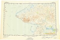
1950 · Teller
USGS Topo · 1:250,000
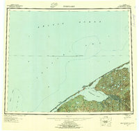
1950 · Shishmaref
USGS Topo · 1:250,000
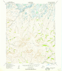
1950 · Teller D-2
USGS Topo · 1:63,360
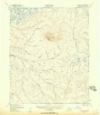
1950 · Teller D-3
USGS Topo · 1:63,360
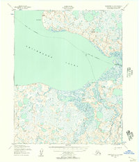
1950 · Shishmaref A-2
USGS Topo · 1:63,360
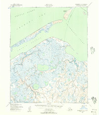
1950 · Shishmaref A-3
USGS Topo · 1:63,360
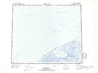
1951 · Shishmaref
USGS Topo · 1:250,000
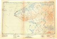
1951 · Teller
USGS Topo · 1:250,000
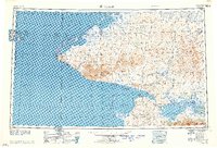
1957 · Teller
USGS Topo · 1:250,000
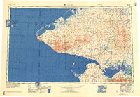
1958 · Teller
USGS Topo · 1:250,000