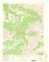
1955 Map of Telluride
USGS Topo · Published 1964About this map
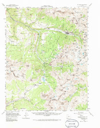
The high-altitude mining district surrounding Telluride appears here during a mid-century period of transition, where the legacy of the San Juan silver boom is preserved in the detailed mapping of remote shafts and industrial infrastructure. The complex network of the San Miguel Southern RR and an old railroad grade trace the difficult logistics of the San Miguel River valley, connecting settlements like Vance Junction and Pandora. While Telluride remains the primary hub, the map records numerous smaller communities and work sites, including Ophir, San Bernardo, and the mountain-top Tomboy (Ruins). This survey captures the landscape as it stood before its later evolution into a major ski destination, emphasizing the original extraction economy through features like the Smuggler Mine, Silver Pick Mine, and Butterfly Mine. For genealogists and local historians, the inclusion of the Wilson Mesa Cem, the Wilson Mesa Sch, and the Ophir Loop Sch provides essential evidence of the families and school districts that once populated these steep mesas.
Find a feature on this map
193 named features on this map. Tap any name to fly to it.
Don’t see what you’re looking for? This feature index may not catch every label — zoom into the map to look around manually.
Map Details
Editions of this 1955 Telluride Map
5 editions found
Other maps of this area

1897 · Rico
USGS Topo · 1:62,500

1897 · Telluride
USGS Topo · 1:62,500

1897 · Silverton
USGS Topo · 1:62,500

1898 · Engineer Mountain
USGS Topo · 1:62,500

1898 · Rico
USGS Topo · 1:62,500

1899 · Rico
USGS Topo · 1:62,500

1900 · Engineer Mountain
USGS Topo · 1:62,500

1900 · Needle Mountains
USGS Topo · 1:62,500

1901 · Silverton
USGS Topo · 1:62,500

1902 · Needle Mountains
USGS Topo · 1:62,500