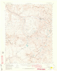
1955 Map of Telluride
USGS Topo · Published 1964About this map
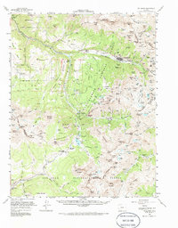
The town of Telluride serves as the industrial and social heart of this high-altitude landscape, documented during a mid-century period when mining operations remained central to the region's identity. Dozens of named mining sites, including the Liberty Bell Mine, Smuggler Mine, and Tomboy Mine, are etched into the steep slopes above the San Miguel River. The map highlights a complex infrastructure of early transportation and industry, featuring the Rio Grande Southern RR and the historic Ophir Loop near the Ophir Loop Sch. From the processing site at Pandora to the remote Coke Oven settlement, the geography is a vertical network of basins and peaks, such as Lizard Head and Mount Wilson. Notable local landmarks like the Wilson Mesa Cem and Skyline Ranch provide important reference points for genealogists and local historians tracing the families who worked these alpine claims.
Find a feature on this map
117 named features on this map. Tap any name to fly to it.
Don’t see what you’re looking for? This feature index may not catch every label — zoom into the map to look around manually.
Map Details
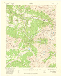
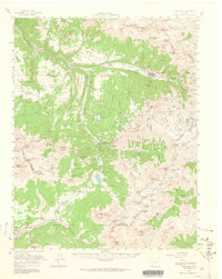
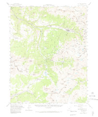
Editions of this 1955 Telluride Map
5 editions found
Other maps of this area

1897 · Rico
USGS Topo · 1:62,500

1897 · Telluride
USGS Topo · 1:62,500

1897 · Silverton
USGS Topo · 1:62,500

1898 · Engineer Mountain
USGS Topo · 1:62,500

1898 · Rico
USGS Topo · 1:62,500

1899 · Rico
USGS Topo · 1:62,500

1900 · Engineer Mountain
USGS Topo · 1:62,500

1900 · Needle Mountains
USGS Topo · 1:62,500

1901 · Silverton
USGS Topo · 1:62,500

1902 · Needle Mountains
USGS Topo · 1:62,500