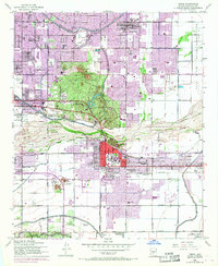
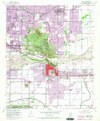
1952 Map of Tempe
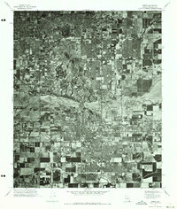
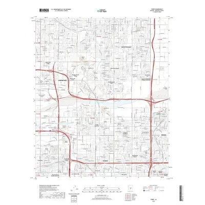
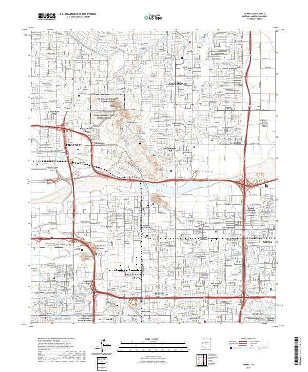
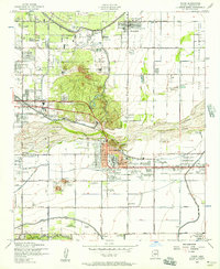
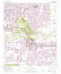
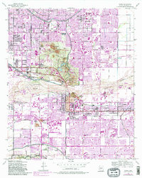
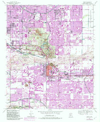
USGS Topo · Published 1963About this map
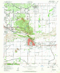
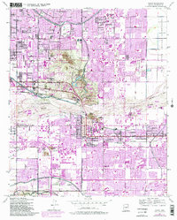
Papago State Park and its distinctive geologic formations, including Ames Butte and the Papago Buttes, dominate the northern landscape of this mid-century survey. The area is defined by a sophisticated irrigation network including the Arizona Canal, Grand Canal, and Cross Cut Canal, which allowed agriculture and institutional growth to flourish in the arid valley. The map documents Tempe during a transformative period for Arizona State College at Tempe, showing the campus before its elevation to university status. Cultural and recreational sites are prominent, from the Arizona Downs Race Track and Arizona Country Club to the Desert Botanical Garden. South of the Salt River, the map captures the transition from the concentrated downtown street grid to more expansive agricultural lands such as the Ariz State College Farm and U of Arizona Experimental Farm.
Find a feature on this map
65 named features on this map. Tap any name to fly to it.
Don’t see what you’re looking for? This feature index may not catch every label — zoom into the map to look around manually.
Map Details
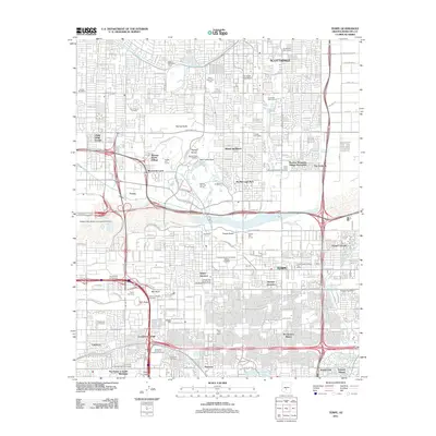
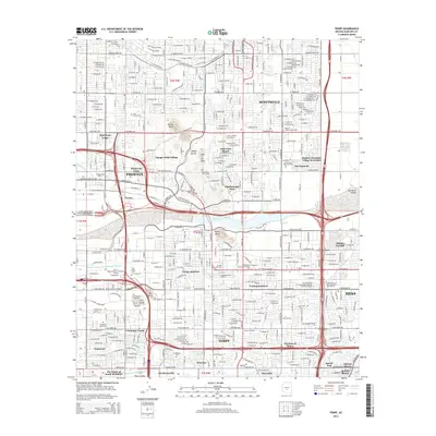
Editions of this 1952 Tempe Map
7 editions found
Historical Maps of Phoenix Through Time
7 maps found