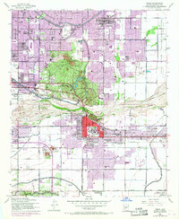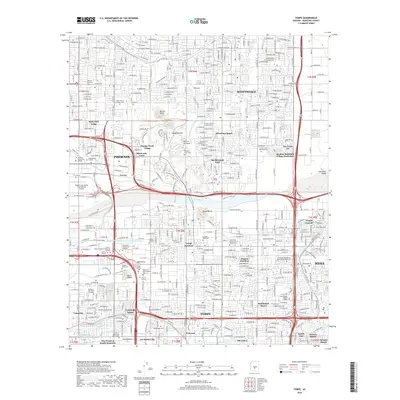
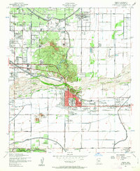
1952 Map of Tempe
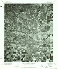
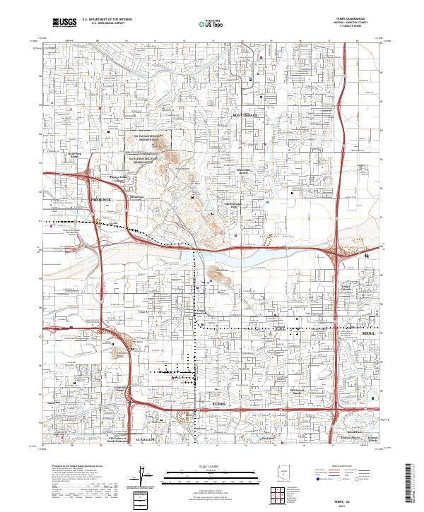
USGS Topo · Published 1983About this map
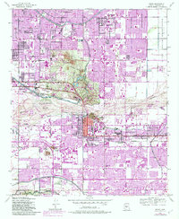
Papago Park and its iconic Papago Buttes anchor this detailed mid-century view of the growing Phoenix metropolitan area. The landscape is defined by the engineered flow of the Arizona Canal, Grand Canal, and Cross Cut Canal, which fueled the agricultural and urban development seen here. Significant local landmarks include the Arizona State University campus, the Desert Botanical Gardens, and the Pueblo Grande Museum near the banks of the Salt River. The map also captures the industrial and institutional character of the era, from the Tovrea Stockyard and Arizona State Hospital Farm to the Arizona Nat Guard Maint facility. Residential expansion is evident in the purple-tinted urban extensions of Scottsdale, Tempe, and Mesa, while the Salt River Indian Reservation remains prominent to the east.
Find a feature on this map
81 named features on this map. Tap any name to fly to it.
Don’t see what you’re looking for? This feature index may not catch every label — zoom into the map to look around manually.
Map Details
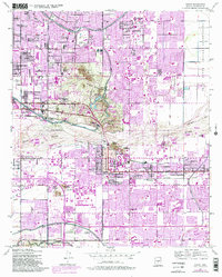
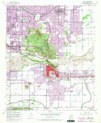
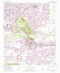
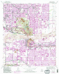
Editions of this 1952 Tempe Map
7 editions found
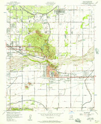
Historical Maps of Phoenix Through Time
7 maps found