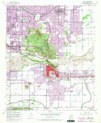
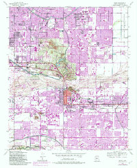
1952 Map of Tempe
USGS Topo · Published 1968About this map
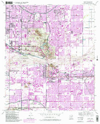
Arizona State College at Tempe serves as the academic core of this mid-century desert landscape, surrounded by a rapidly expanding network of residential grids and agricultural research facilities. The map illustrates a pivotal transition as the valley's historic irrigation system, including the Arizona Canal, Grand Canal, and Western Canal, supported both the remaining rural acreage and the burgeoning suburbs of Scottsdale and Tempe. The presence of the U of Arizona Experimental Farm and the Arizona State Hospital Farm highlights the area's agricultural legacy, while the sprawling Papago State Park preserves the unique geology of the Papago Buttes and Barnes Butte. To the east, the Salt River Indian Reservation meets the river's edge, and numerous local landmarks like the Arizona Falls Power House and various neighborhood schools like Winfield Scott Sch provide granular detail for local historians.
Find a feature on this map
53 named features on this map. Tap any name to fly to it.
Don’t see what you’re looking for? This feature index may not catch every label — zoom into the map to look around manually.
Map Details
Editions of this 1952 Tempe Map
7 editions found
Other maps of this area

1904 · Camelback
USGS Topo · 1:62,500

1906 · Camelsback
USGS Topo · 1:62,500

1912 · Phoenix
USGS Topo · 1:62,500

1913 · Mesa
USGS Topo · 1:62,500

1914 · Phoenix
USGS Topo · 1:62,500

1915 · Mesa
USGS Topo · 1:62,500

1930 · Cave Creek
USGS Topo · 1:125,000

1939 · Cave Creek
USGS Topo · 1:125,000

1952 · Tempe
USGS Topo · 1:24,000

1952 · Chandler
USGS Topo · 1:24,000