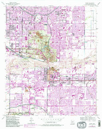
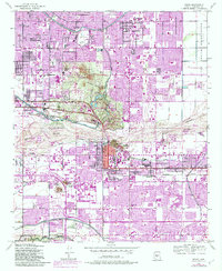
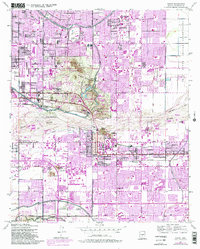
1952 Map of Tempe
USGS Topo · Published 1983About this map
The Salt River corridor anchors this 1952 study, showing the rapid post-war suburban transformation of the Valley of the Sun. Irrigation infrastructure remains central to the landscape, with the Arizona Canal, Grand Canal, and Western Canal tracing the historic water-management patterns of the region. The map captures Tempe and Scottsdale before their mid-century population booms, centered around Arizona State University and landmarks like Tempe Butte. The terrain is punctuated by distinctive geological features such as Barnes Butte and Papago Buttes, including the Papago Buttes Botanical Gardens and the Phoenix Military Reservation. To the west, the Arizona State Hospital Farm and Pueblo Grande Museum stand near the industrial stockyards of Tovrea, while several burial grounds, including St Francis Cemetery and Guadalupe Cemetery, provide valuable data for local genealogists.
Find a feature on this map
58 named features on this map. Tap any name to fly to it.
Don’t see what you’re looking for? This feature index may not catch every label — zoom into the map to look around manually.
Map Details
Editions of this 1952 Tempe Map
7 editions found
Other maps of this area

1904 · Camelback
USGS Topo · 1:62,500

1906 · Camelsback
USGS Topo · 1:62,500

1912 · Phoenix
USGS Topo · 1:62,500

1913 · Mesa
USGS Topo · 1:62,500

1914 · Phoenix
USGS Topo · 1:62,500

1915 · Mesa
USGS Topo · 1:62,500

1930 · Cave Creek
USGS Topo · 1:125,000

1939 · Cave Creek
USGS Topo · 1:125,000

1952 · Tempe
USGS Topo · 1:24,000

1952 · Chandler
USGS Topo · 1:24,000