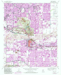
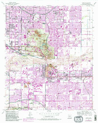
1952 Map of Tempe
USGS Topo · Published 1983About this map
Papago Park and the rugged Papago Buttes dominate the central landscape of this desert transition zone, where the industrial and academic growth of the post-war era meets the irrigation legacy of the Salt River Valley. The map documents the rapid expansion of Tempe and eastern Phoenix before the full saturation of suburban development. The presence of the Arizona State University campus and Mt Carmel Sch indicates a growing educational hub, while the Tovrea Stockyard and nearby Sewage Disposal sites reveal the working-class infrastructure of the mid-century valley.
Find a feature on this map
61 named features on this map. Tap any name to fly to it.
Don’t see what you’re looking for? This feature index may not catch every label — zoom into the map to look around manually.
Map Details
Editions of this 1952 Tempe Map
7 editions found
Other maps of this area

1904 · Camelback
USGS Topo · 1:62,500

1906 · Camelsback
USGS Topo · 1:62,500

1912 · Phoenix
USGS Topo · 1:62,500

1913 · Mesa
USGS Topo · 1:62,500

1914 · Phoenix
USGS Topo · 1:62,500

1915 · Mesa
USGS Topo · 1:62,500

1930 · Cave Creek
USGS Topo · 1:125,000

1939 · Cave Creek
USGS Topo · 1:125,000

1952 · Tempe
USGS Topo · 1:24,000

1952 · Chandler
USGS Topo · 1:24,000