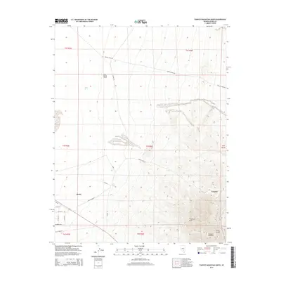
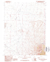
2014 Map of Tempiute Mountain North
USGS Topo · Published 2014About this map
Rachel serves as a primary settlement point in this high-desert landscape of Lincoln County, situated at the edge of the Sand Spring Valley. The area is defined by a network of specialized access routes, including Tempiute Well Rd and Nellis Range Rd, reflecting the region's intersection of mining history and military geography. To the east, the terrain rises sharply into the Timpahute Range, where Tempiute Mountain stands as a prominent landmark.
Find a feature on this map
28 named features on this map. Tap any name to fly to it.
Don’t see what you’re looking for? This feature index may not catch every label — zoom into the map to look around manually.
Map Details
Editions of this 2014 Tempiute Mountain North Map
This is the sole edition of this map. No revisions or reprints were ever made.
Other maps of this area

1942 · Penoyer Valley
USGS Topo · 1:125,000

1952 · White Blotch Springs
USGS Topo · 1:62,500

1954 · Caliente
USGS Topo · 1:250,000

1959 · Caliente
USGS Topo · 1:250,000

1964 · Tempiute Mtn
USGS Topo · 1:62,500

1985 · Worthington Peak SW
USGS Topo · 1:24,000
1985 · Meeker Peak
USGS Topo · 1:24,000
1986 · Honest John Well
USGS Topo · 1:24,000
1987 · Tempiute Mountain South
USGS Topo · 1:24,000
1987 · Tempiute Mountain North
USGS Topo · 1:24,000