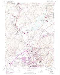
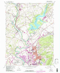
1956 Map of Temple
USGS Topo · Published 1969About this map
Lake Ontelaunee dominates the landscape northeast of Reading, serving as a focal point for the surrounding Berks County communities during the mid-20th century. The waterway is fed by Maiden Creek, while the western edge of the area is defined by the winding Schuylkill River. This period shows a transition from agricultural land to suburban expansion, particularly visible in the development around Laureldale, Hyde Park, and South Temple. Transportation infrastructure is dense, with the Penn Central and Reading railroads threading through settlements like Leesport and Shoemakersville.
Find a feature on this map
69 named features on this map. Tap any name to fly to it.
Don’t see what you’re looking for? This feature index may not catch every label — zoom into the map to look around manually.
Map Details
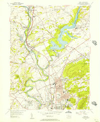
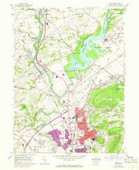
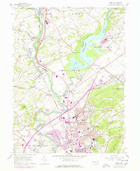
Editions of this 1956 Temple Map
5 editions found
Other maps of this area

1889 · Pottsville
USGS Topo · 1:62,500

1891 · Pottsville
USGS Topo · 1:62,500

1894 · Reading
USGS Topo · 1:62,500

1902 · Wernersville
USGS Topo · 1:62,500

1909 · Hamburg
USGS Topo · 1:62,500

1911 · Hamburg
USGS Topo · 1:62,500

1913 · Reading
USGS Topo · 1:62,500

1915 · Reading
USGS Topo · 1:62,500

1943 · Wernersville
USGS Topo · 1:62,500

1944 · Reading
USGS Topo · 1:62,500
Featured Places
- Muhlenberg Park, Muhlenberg Township
- Laureldale, PA
- Leesport, PA
- Shoemakersville, PA
- Ontelaunee Township, PA