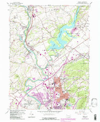
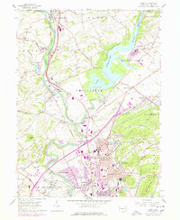
1956 Map of Temple
USGS Topo · Published 1984About this map
Maiden Creek flows into the expansive Lake Ontelaunee, a prominent water feature that dominates the central portion of this Berks County landscape. Along the western edge, the Schuylkill River carves a path through industrial and residential corridors, paralleled by the extensive Conrail rail lines that once fueled the region's growth. The map illustrates a transition from the agricultural heritage of Centre and Maiden Creek townships toward the growing suburban and industrial footprints of Temple, Laureldale, and Muhlenberg Park.
Find a feature on this map
62 named features on this map. Tap any name to fly to it.
Don’t see what you’re looking for? This feature index may not catch every label — zoom into the map to look around manually.
Map Details
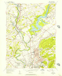
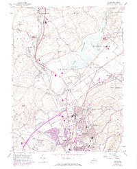
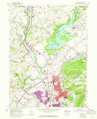
Editions of this 1956 Temple Map
5 editions found
Other maps of this area

1889 · Pottsville
USGS Topo · 1:62,500

1891 · Pottsville
USGS Topo · 1:62,500

1894 · Reading
USGS Topo · 1:62,500

1902 · Wernersville
USGS Topo · 1:62,500

1909 · Hamburg
USGS Topo · 1:62,500

1911 · Hamburg
USGS Topo · 1:62,500

1913 · Reading
USGS Topo · 1:62,500

1915 · Reading
USGS Topo · 1:62,500

1943 · Wernersville
USGS Topo · 1:62,500

1944 · Reading
USGS Topo · 1:62,500
Featured Places
- Muhlenberg Park, Muhlenberg Township
- Laureldale, PA
- Leesport, PA
- Shoemakersville, PA
- Ontelaunee Township, PA